

Multiple rounds of rainfall are expected through Friday morning. A flood watch has been issued for parts of northern Kentucky and southeast Ohio where the heaviest rainfall is expected to occur.
Multiple rounds of rainfall are expected through Friday morning. A flood watch has been issued for parts of northern Kentucky and southeast Ohio where the heaviest rainfall is expected to occur.
This report is specifically for the Arbor Doctor’s location 3.4 miles west of Cheviot, OH, in the western suburbs of Cincinnati in southwest Ohio. This location is also an official cooperative observation site for the National Weather Service listed as Cheviot 3W.
What is the Condition Monitoring Report? See these links for more information:
[530 am] It is shaping up to be an interesting weather day across eastern Indiana, northern Kentucky and southern Ohio. Incoming precipitation may change back and forth several times through the day. There will be some accumulation of heavy, wet snow. Stay tuned for the latest updates.

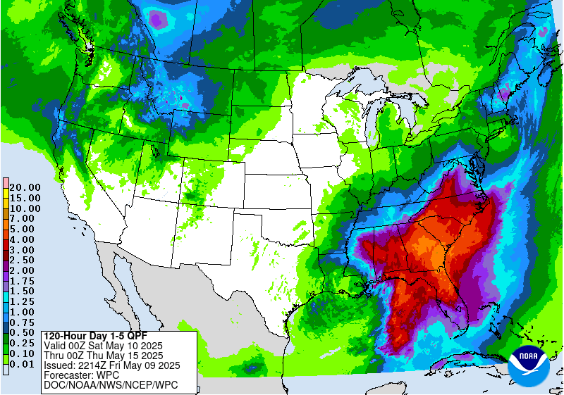
Temperatures warm quickly Sunday and this week so snow won’t stay around long. Lots of rain is expected over the next week.
URGENT - WINTER WEATHER MESSAGE
National Weather Service Wilmington OH
406 AM EDT Sat Mar 24 2018

INZ066-073>075-080-KYZ089>100-OHZ077-241615-
/O.CON.KILN.WS.W.0004.000000T0000Z-180325T0600Z/
Franklin IN-Ripley-Dearborn-Ohio-Switzerland-Carroll-Gallatin-
Boone-Kenton-Campbell-Owen-Grant-Pendleton-Bracken-Robertson-
Mason-Lewis-Hamilton-
Including the cities of Brookville, Batesville, Milan,
Versailles, Lawrenceburg, Aurora, Rising Sun, Vevay, Carrollton,
Warsaw, Florence, Burlington, Oakbrook, Covington, Erlanger,
Independence, Newport, Alexandria, Owenton, Williamstown,
Crittenden, Dry Ridge, Falmouth, Butler, Augusta, Brooksville,
Mount Olivet, Maysville, Vanceburg, Tollesboro, and Cincinnati
406 AM EDT Sat Mar 24 2018

...WINTER STORM WARNING REMAINS IN EFFECT UNTIL 2 AM EDT SUNDAY...

* WHAT...Heavy mixed precipitation expected. Wet snow
  accumulations of 2 to 4 inches with locally higher amounts and
  sleet are possible.

* WHERE...Portions of Southeast Indiana, Northeast and Northern
  Kentucky and Southwest Ohio.

* WHEN...Until 2 AM EDT Sunday.

* ADDITIONAL DETAILS...Plan on slippery road conditions. Be
  prepared for significant reductions in visibility at times.

PRECAUTIONARY/PREPAREDNESS ACTIONS...

A Winter Storm Warning means significant amounts of snow, sleet
and ice will make travel very hazardous or impossible. Additional
information can be found at www.weather.gov/iln as well as on our
Facebook and Twitter pages.
