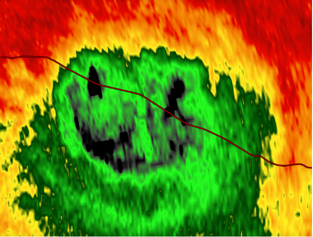
Stu Ostro’s 13th annual! I thought this year would be the easiest one yet, with GOES-16 having become fully operational just before the start of the year, but turns out that makes it even more difficult! There are now so many great images. Literally every hour of every day, mesmerizing loops, esp. the high-resolution rapid-scan ones, show the wondrous fluidity of the atmosphere. See it all here>>>
Cloudy with a chance of Chinook Arches

Contributed by
Years ago, literally the very week I moved to Colorado, I saw a truly weird thing out my window. It was a meteorological phenomenon (or “cloud thingy” as nebulaphiles call them) that I had never seen before, and it really threw me at first. Read the article here>>>
Soil Moisture Condition Monitoring Weekly Report: Severely Wet
Station Number: OH-HM-24
Station Name: Cheviot 3.4 W
Report Date: 12/29/2018
Submitted: 12/29/2018 7:22 AM
Scale Bar: Severely Wet
Description:
Only 0.34 inches of rain in the past week but 4.29 inches in December and 63.89 inches for the year, over 20 inches above normal and one of the wettest years on record. Soil is wet. Ground is completely saturated with water. Standing water is abundant. Water bodies are very elevated.
Categories:
General Awareness
Agriculture
Plants & Wildlife
This report is specifically for the Arbor Doctor’s location 3.4 miles west of Cheviot, OH, in the western suburbs of Cincinnati in southwest Ohio. This location is also an official cooperative observation site for the National Weather Service listed as Cheviot 3W.
What is the Condition Monitoring Report? See these links for more information:

