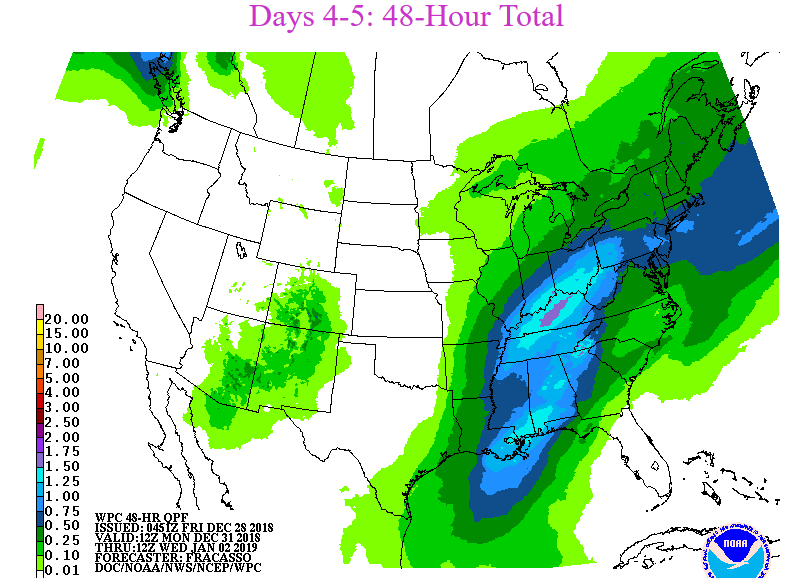
It’s still a few days away but Sunday night and Monday are looking quite wet in the Ohio and Tennessee valleys. Little or no wintry precipitation is expected. Saturday and Sunday in Cincinnati are looking dry and seasonably cool.

It’s still a few days away but Sunday night and Monday are looking quite wet in the Ohio and Tennessee valleys. Little or no wintry precipitation is expected. Saturday and Sunday in Cincinnati are looking dry and seasonably cool.
Station Number: OH-HM-24
Station Name: Cheviot 3.4 W
Report Date: 12/22/2018
Submitted: 12/22/2018 6:42 AM
Scale Bar: Severely Wet
Description:
0.98 inches of rain in the past 3 days and 1.90 inches of rain in the past week on top of already moderately wet soil. Soil is wet. Ground is completely saturated with water. Standing water is common. Water bodies are very elevated.
Categories:
General Awareness
Agriculture
Plants & Wildlife
This report is specifically for the Arbor Doctor’s location 3.4 miles west of Cheviot, OH, in the western suburbs of Cincinnati in southwest Ohio. This location is also an official cooperative observation site for the National Weather Service listed as Cheviot 3W.
What is the Condition Monitoring Report? See these links for more information:
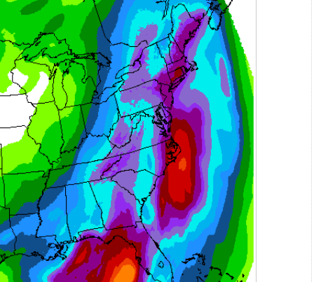
A weather system will affect Cincinnati Thursday and it is exhibit 1 as to the difficulty involved in forecasting. Here is the 3 day precipitation outlook:

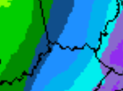
That’s quite a weather system for the eastern United States. But look at Cincinnati. Here is a zoomed in picture:

The dark blue is 1/2 inch of rain. Note that the eastern suburbs are projected to get 3/4 inch while Brookville in southeast Indiana would barely get 1/2 inch. Last night, projections showed Brookville barely getting 1/10 inch. For a weather system this large, 48 hours out, only a small wobble could mean a big difference. This difference is actually magnified if snow is expected, although any appreciable snow is not expected in this storm.
In any case, expect a wet Thursday afternoon and Friday morning, with minor variations if this system wobbles.