One year ago today, May 14, 2019, the high temperature in Cincinnati was 90 degrees and we were in the middle of the hottest May on record. This morning’s low was 40. So far, May 2019 has been the virtual opposite of May 2018 with an average temperature thus far of -0.2 degrees below normal. However, things are about to change.
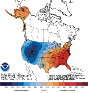
For most of the winter, high pressure has maintained itself either near or off the southeast US coast. A Bermuda high of sorts. Now that we are nearing meteorological summer, this Bermuda high is stretching its wings and trying to dominate the southeastern US. As it does so, cooler air will be displaced and warm to hot weather will build in the east. While no 90’s are in the immediate outlook in Cincinnati, temperatures should be topping 80 by the weekend.
 The Bermuda high will force a bit of a traffic jam in the atmosphere. While there will be occasional rain chances in Cincinnati, it looks like a much drier pattern is developing in the east. A very cold and wintery pattern is setting up in the west with frequent, flooding rains and storms in the nation’s mid-section.
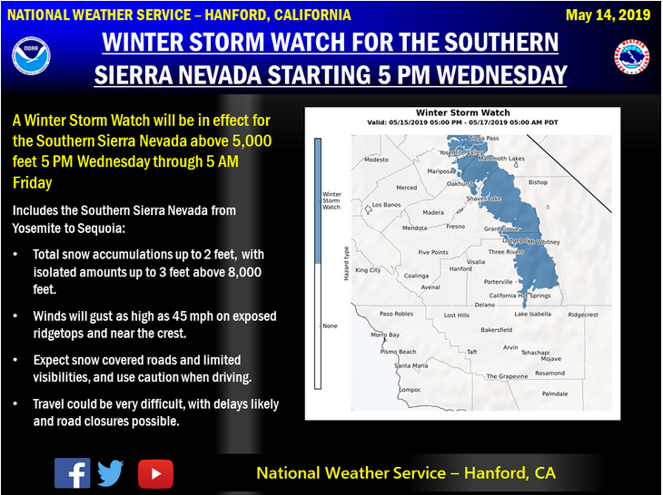
While this is the beginning of California’s dry season, nobody told mother nature. Heavy rains are forecast for central and northern California over the next couple weeks with mountain snow measured in feet, very unusual for mid to late May.
Cool in the west and hot in the east. Could this be a preview of our summer? Stay tuned!

