Axis of heavy rain for next week shifts south, threatening the Tennessee and Cumberland valleys with renewed flooding threats. The Ohio River will be pushed toward flood stage too.

Day 11 image not available
The axis of heaviest rain for early next week has been shifting south of Cincinnati. Cincinnati could still get a couple inches of rain over several days but the heaviest rain is now expected to fall over Tennessee and Kentucky. Unfortunately, the same Cumberland and Tennessee valley areas that experienced severe flooding a few weeks ago may be in for an encore performance. This rain could also push the Ohio River to near flood stage. As much as 5-8 inches of rain could fall over Tennessee and southern Kentucky from this weather system.

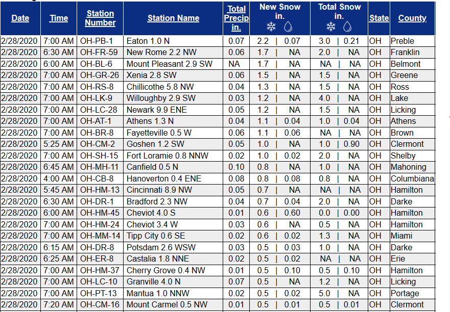
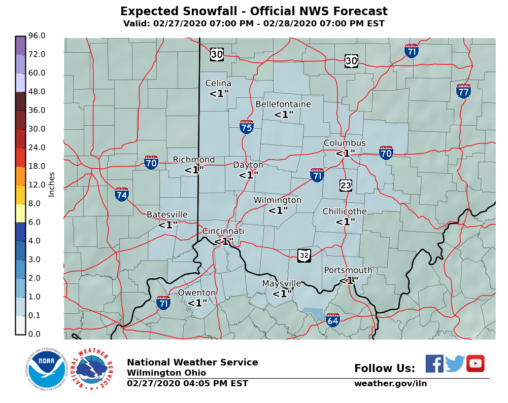
Areas of snow and slippery roads forecast tonight in Cincinnati with heavy rain and possible flooding to kick off March

Quick moving, narrow bands of snow will move through the Cincinnati area overnight. While amounts are generally expected to be around an inch or less, the quick accumulation rate and cool pavement temperatures could lead to slick spots on area roadways.

Heavy rain and flooding remain possible next week in the Ohio and Tennessee valleys. As of Thursday evening, 7 day rainfall forecasts call for rainfall amounts of 3-7 inches in the mid-Mississippi, Tennessee, and Ohio River valleys, most of which is forecast to fall Monday through Wednesday of next week.

Day 11 image not available