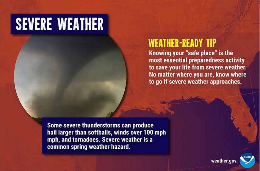
A very active spring weather pattern is shaping up in the Ohio valley and east central US. Cold air from the west will try to make intrusions eastward. However, the strong southeastern high which has blocked such movement all winter will, if anything, become more formidable and create a battle ground to that advancement.
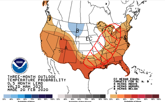
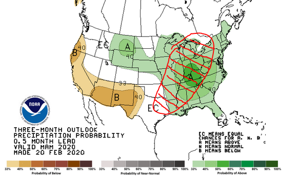
The maps above show the March-May outlook from the National Weather Service. The red hashed area shows the battle ground where the cold intrusions meet the warm and moist flow from the Gulf of Mexico. When those opposing forces meet in the springtime, bad things happen. The chances for more severe outbreaks this spring, particularly in the red hashed area, are higher than normal.
Severe weather is certainly possible outside the hashed area, particularly west of it in the usual tornado alley areas of the plains.