Active severe weather season is likely this spring in the east central US, Ohio valley and Mississippi valley
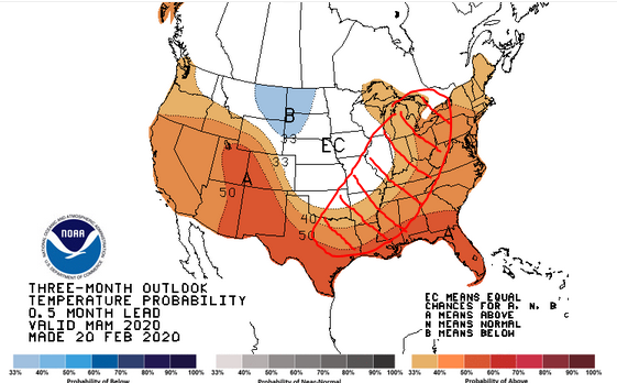
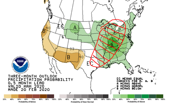
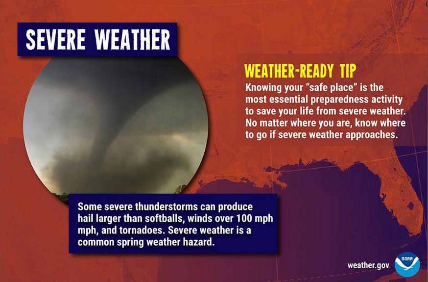
A very active spring weather pattern is shaping up in the Ohio valley and east central US. Cold air from the west will try to make intrusions eastward. However, the strong southeastern high which has blocked such movement all winter will, if anything, become more formidable and create a battle ground to that advancement.
The maps above show the March-May outlook from the National Weather Service. The red hashed area shows the battle ground where the cold intrusions meet the warm and moist flow from the Gulf of Mexico. When those opposing forces meet in the springtime, bad things happen. The chances for more severe outbreaks this spring, particularly in the red hashed area, are higher than normal.
Severe weather is certainly possible outside the hashed area, particularly west of it in the usual tornado alley areas of the plains.



Soil Moisture Condition Monitoring Weekly Report: Near Normal
Station Number: OH-HM-24
Station Name: Cheviot 3.4 W
Report Date: 3/7/2020
Submitted: 3/07/2020 6:50 AM
Scale Bar: Near Normal
Description:
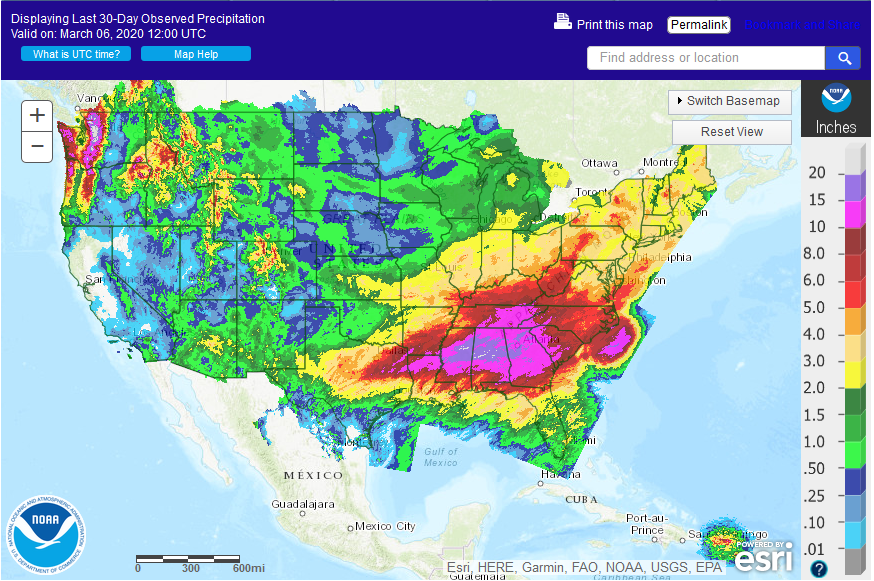
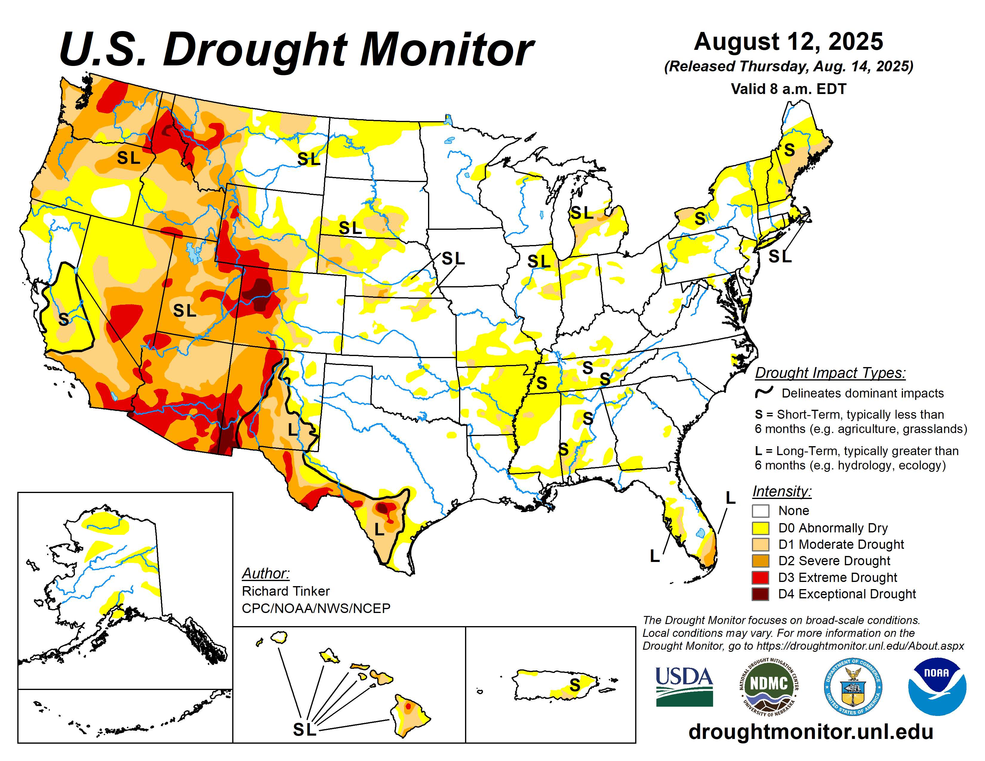
0.35 inches of liquid and melted precipitation in the past week. Soils are slowly drying out. Water bodies are near normal or pool stage. Observed conditions are expected for this time of year.
Categories:
General Awareness
Agriculture
Plants & Wildlife
–
This report is specifically for the Arbor Doctor’s location 3.4 miles west of Cheviot, OH, in the western suburbs of Cincinnati in southwest Ohio. This location is also an official cooperative observation site for the National Weather Service listed as Cheviot 3W.
What is the Condition Monitoring Report? See these links for more information:
Soil Moisture Index:

Spring leaf out (click on map to enlarge):
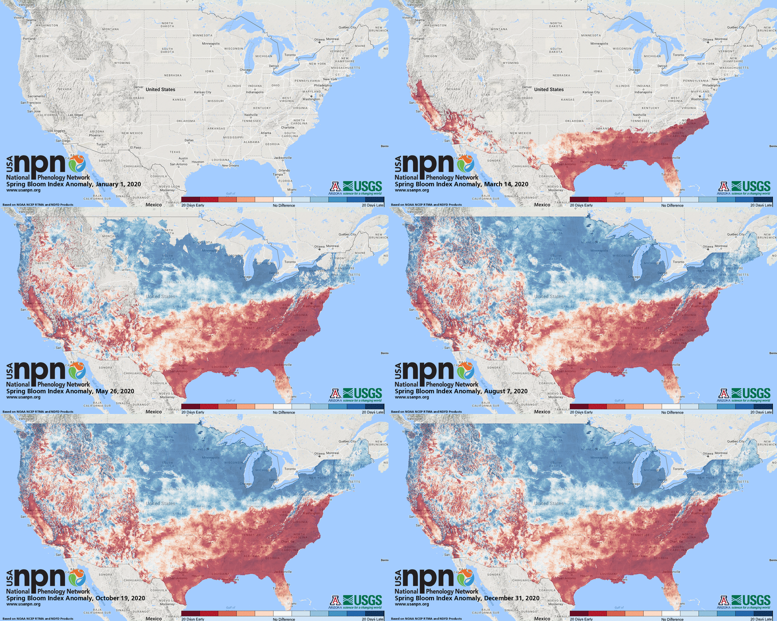
Spring bloom index (Click on map to enlarge):
Soil temperature map
Ron Wilson shared this link for soil temperatures across the US. Pretty cool! http://greencastonline.com/tools/SoilTempMaps.aspx
