
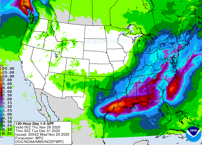
 It is worth noting that a significant shift in the weather pattern will be occurring as we head into the new week. We look safe for the holiday weekend but it looks like real winter may be arriving next week, coincident with the start of meteorological winter. Here is what the National Weather Service forecast discussion has to say about it:
We continue to monitor the forecast upper level pattern and the
subsequent surface pattern as we head into the second half of the
weekend into early next week. Northern stream energy with colder air
is still forecast to dig southeast into the Great Lakes. Meanwhile,
southern stream energy is also forecast to eject northeast from the
southern Plains into the Ohio Valley. How these two systems
interact/phase will be the key to potential impacts, particularly
the threat for snow and wind. As has been stated, there is still a
lot of time between now and Sunday/Monday for the models to come
into better agreement on storm system evolution. The signal is there
for a deepening surface low to affect the Ohio Valley and the
central Appalachians. This scenario would bring rain to the region
at first followed by a change over to snow as colder air is drawn
into the deepening system. This event could bring the first
accumulating snow of the season to our region and as such will have
to fine tune the forecast as we get closer. So, the forecast calls
for rain moving into the region late Sunday into Sunday night
followed by rain changing over to snow Monday into Monday night. The
system may occlude over the Great Lakes and spin in place for
awhile, thus keeping the threat for at least scattered snow showers
Tuesday into Tuesday night. These may end up lingering into the
middle of next week if the mid level flow becomes “blocky.” Highs in
the 50s on Sunday will tumble into highs in the 30s by early next
week. Lows will eventually cool down into the 20s.
Don’t believe early forecasts of a huge snowstorm. The weather blog wannabes are liable to have a field day with this. Just know that this is a possibility and plan accordingly. If you plow snow, it’s time to get your equipment ready if you haven’t yet. You may need it next week.
A lot can change in the next few days so stay tuned.