NWS Regional Climate Report – April 2021>>>
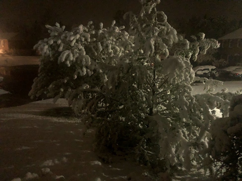
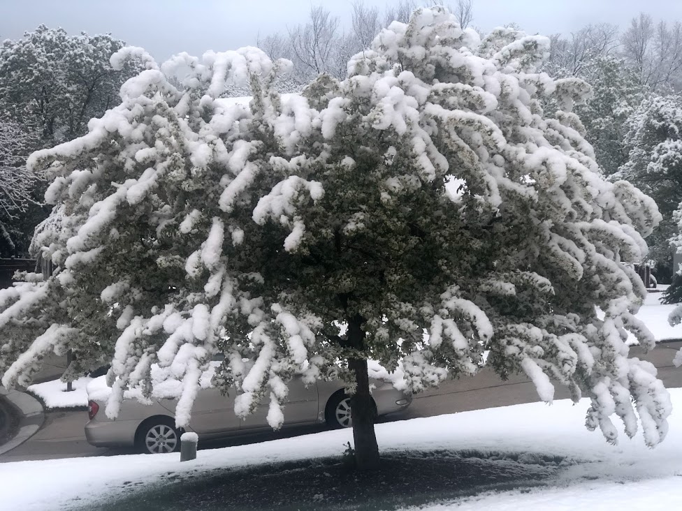
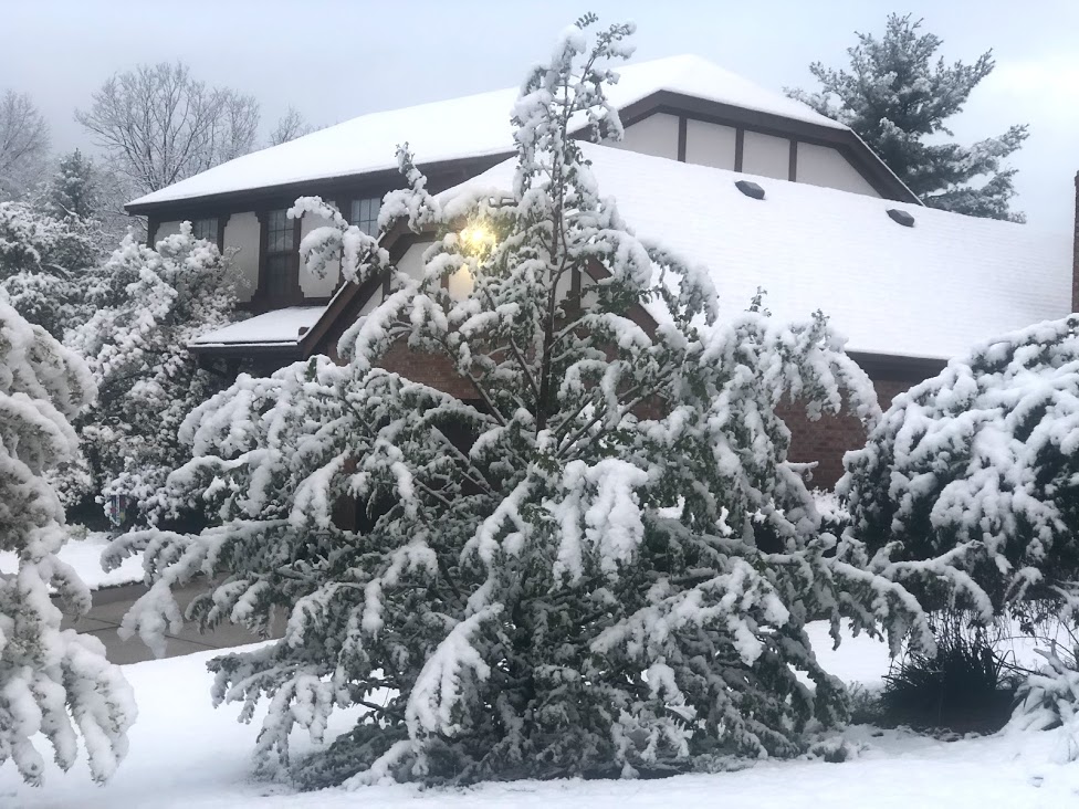
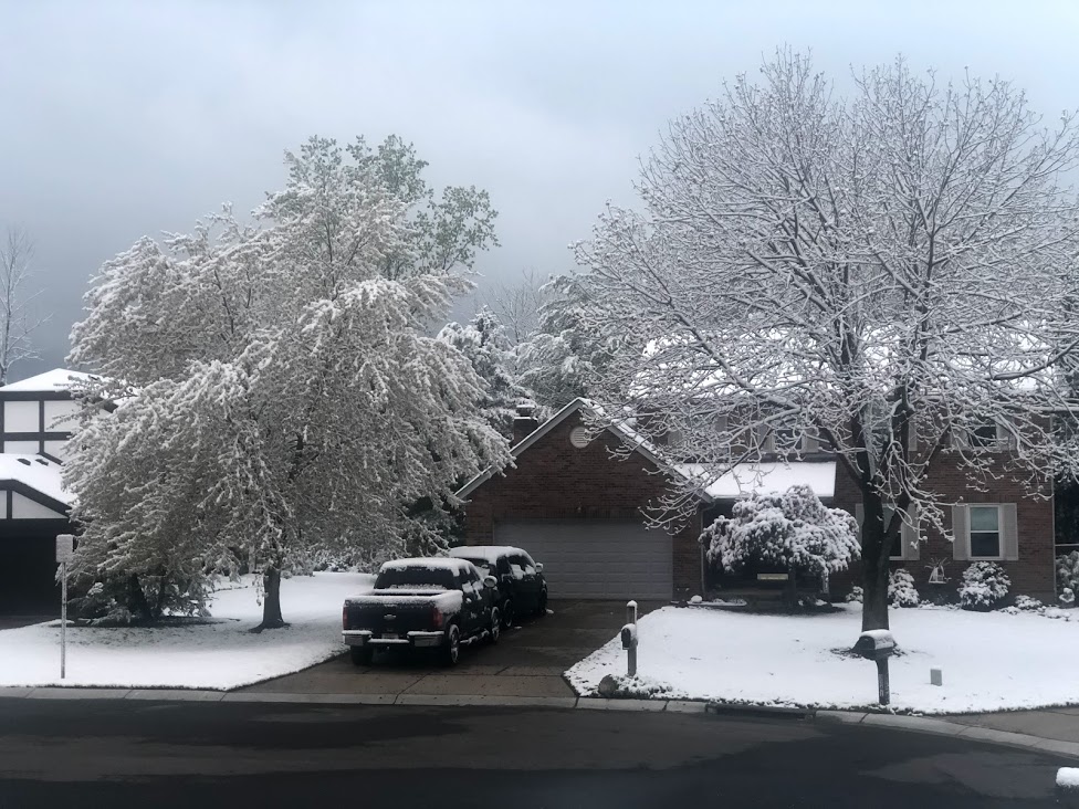
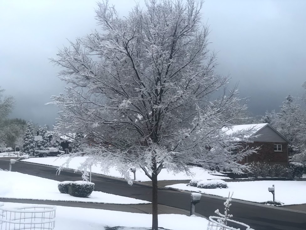
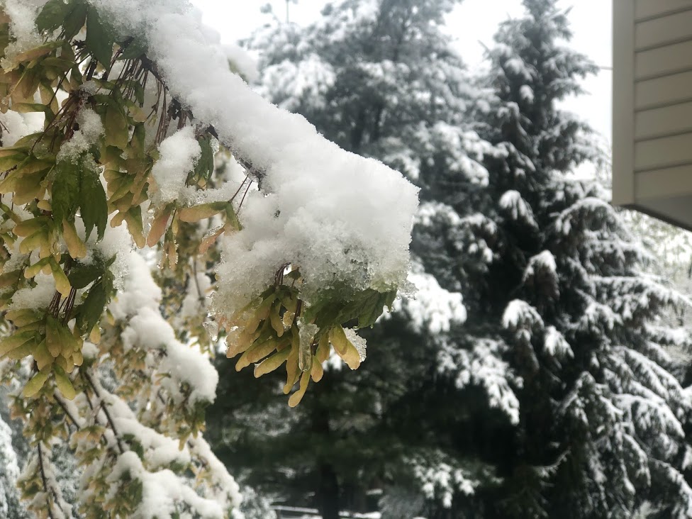
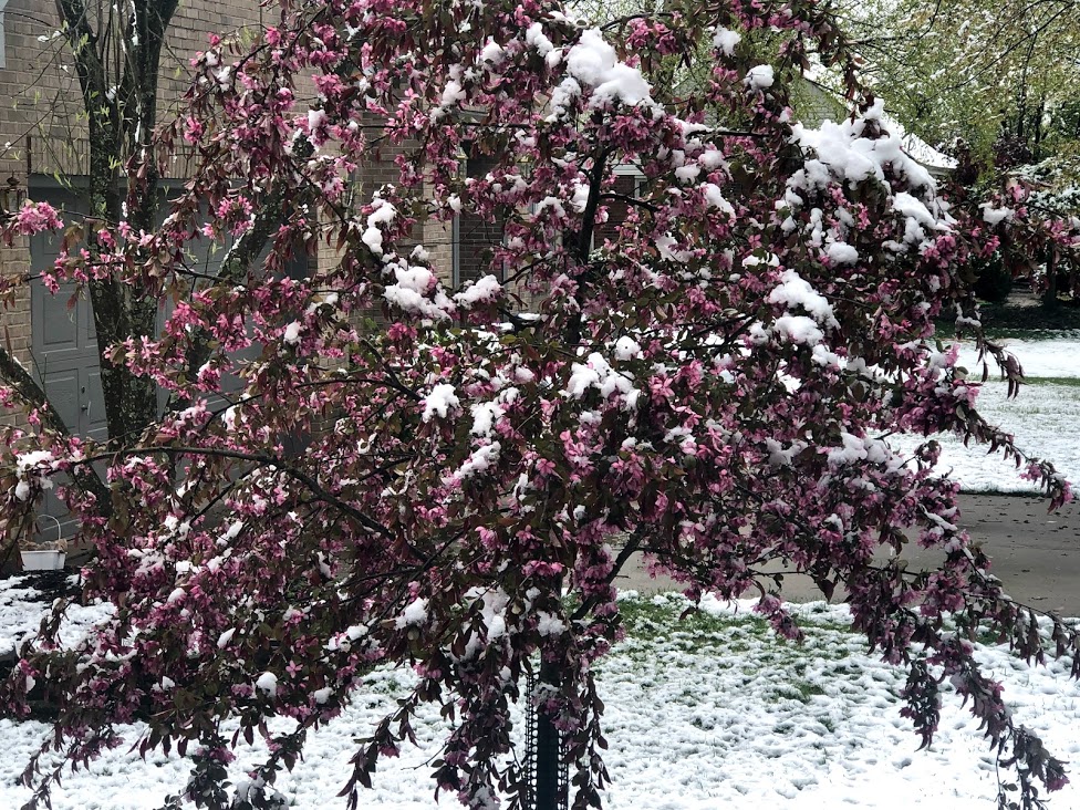
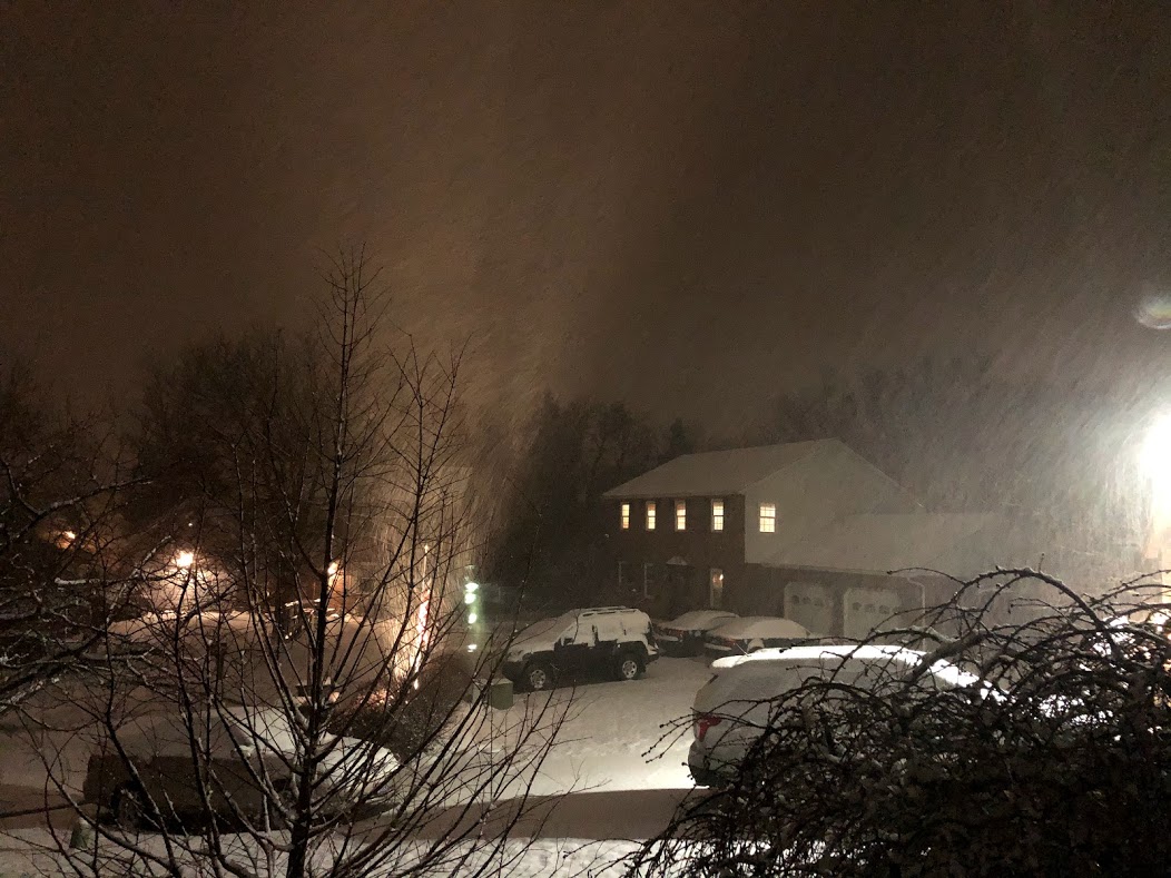
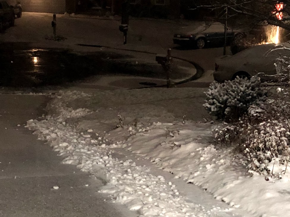
2:30 AM on April 21, 2021 was quite wintry. Several trees broke from the weight of the wet snow on leaves and flowers.
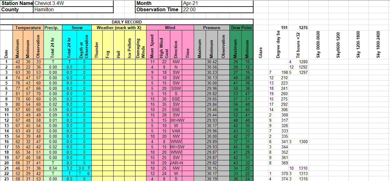
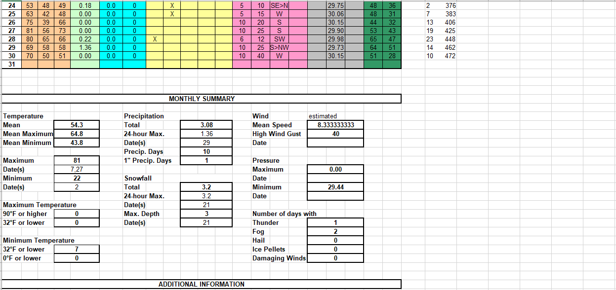
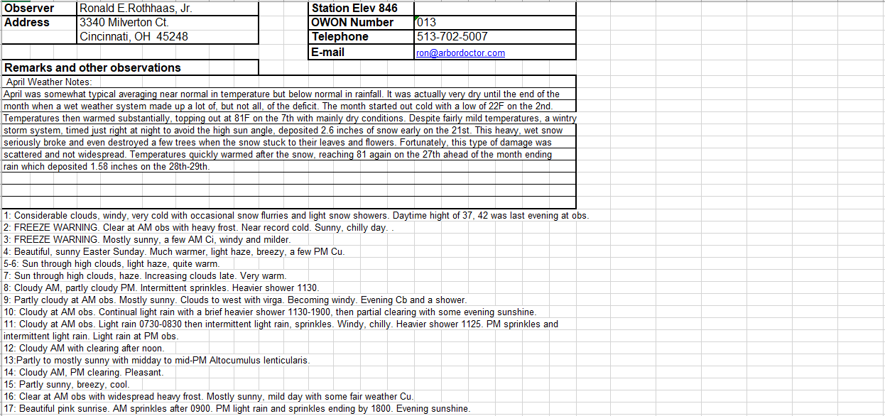

NWS Regional Climate Report – April 2021>>>

2:30 AM on April 21, 2021 was quite wintry. Several trees broke from the weight of the wet snow on leaves and flowers.


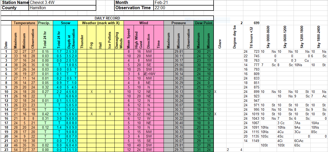
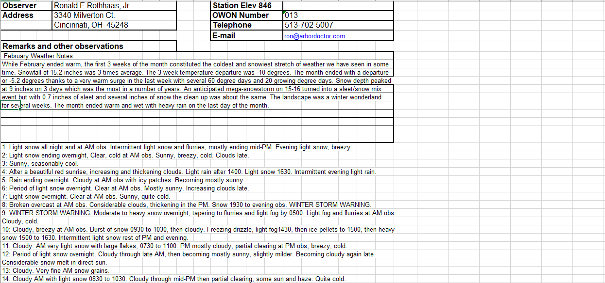
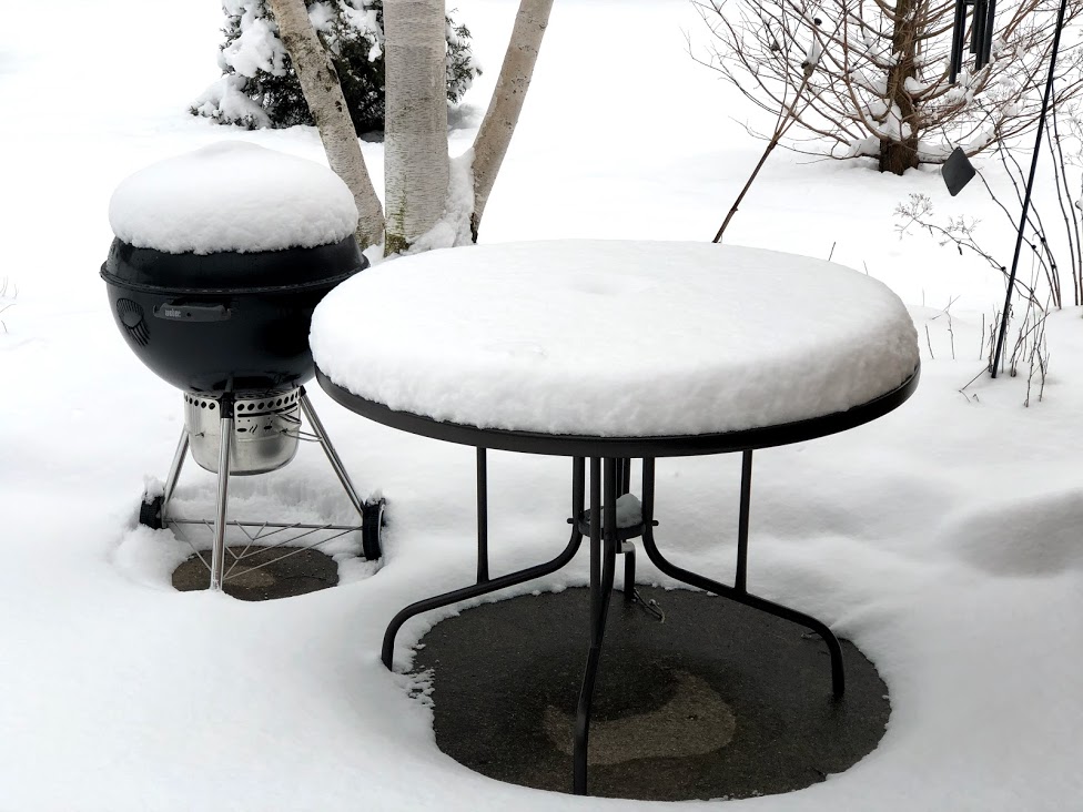
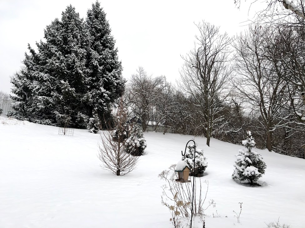
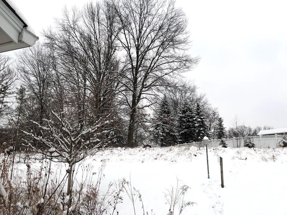
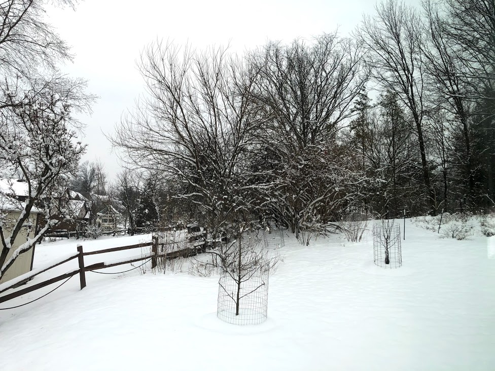
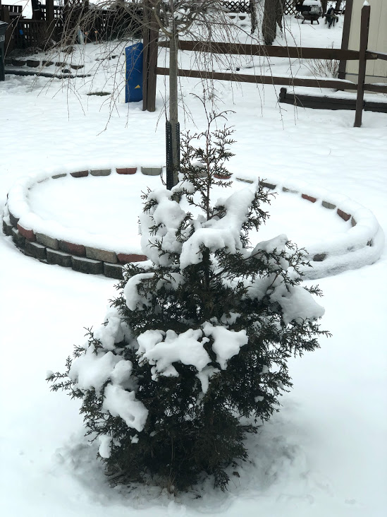
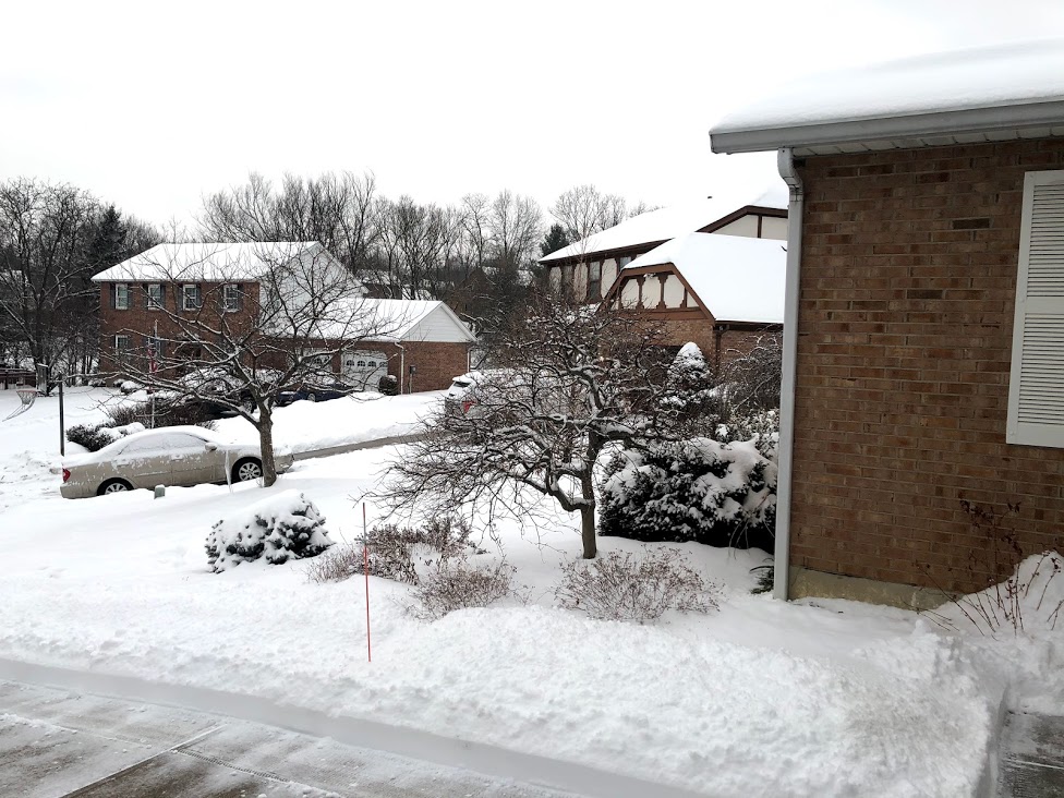
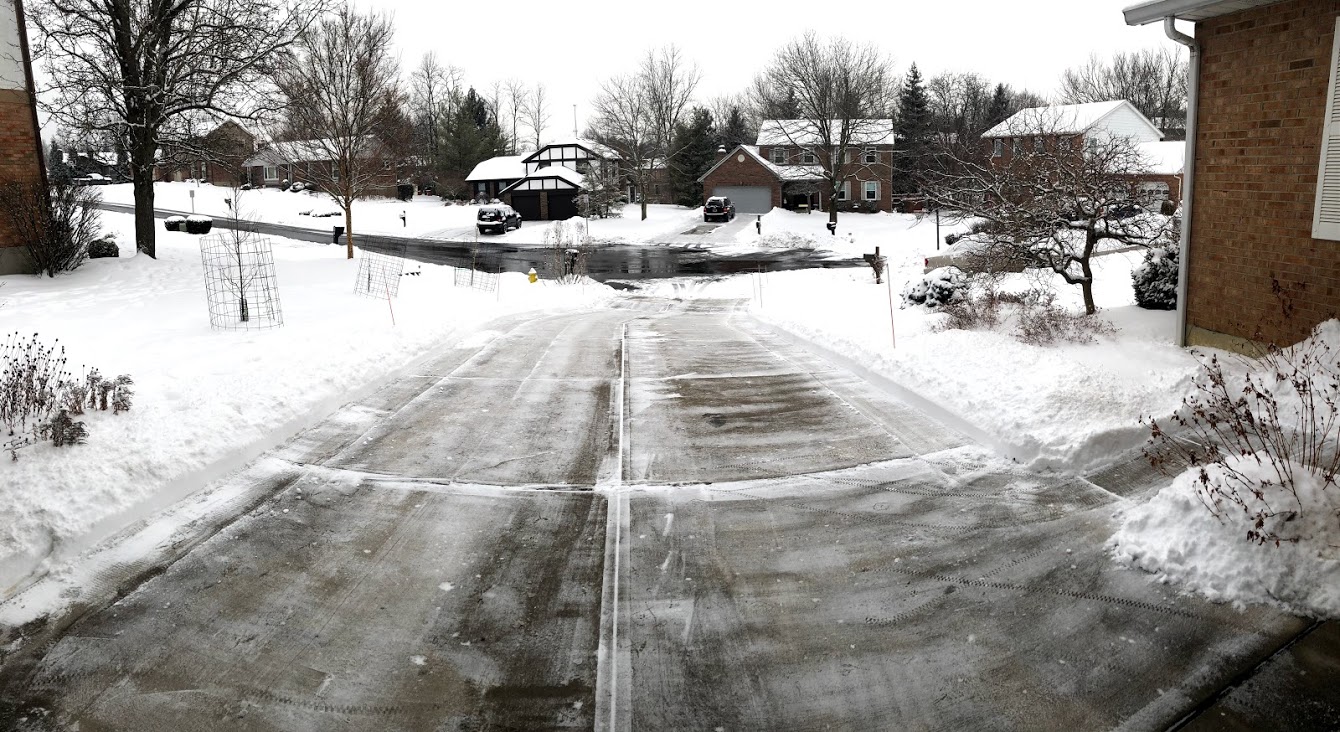
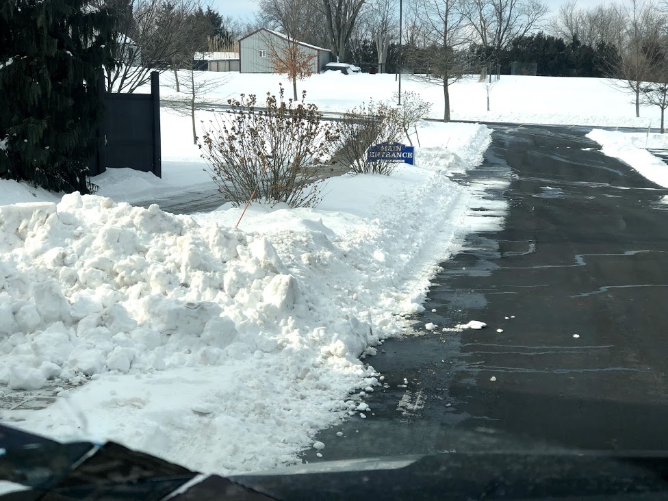
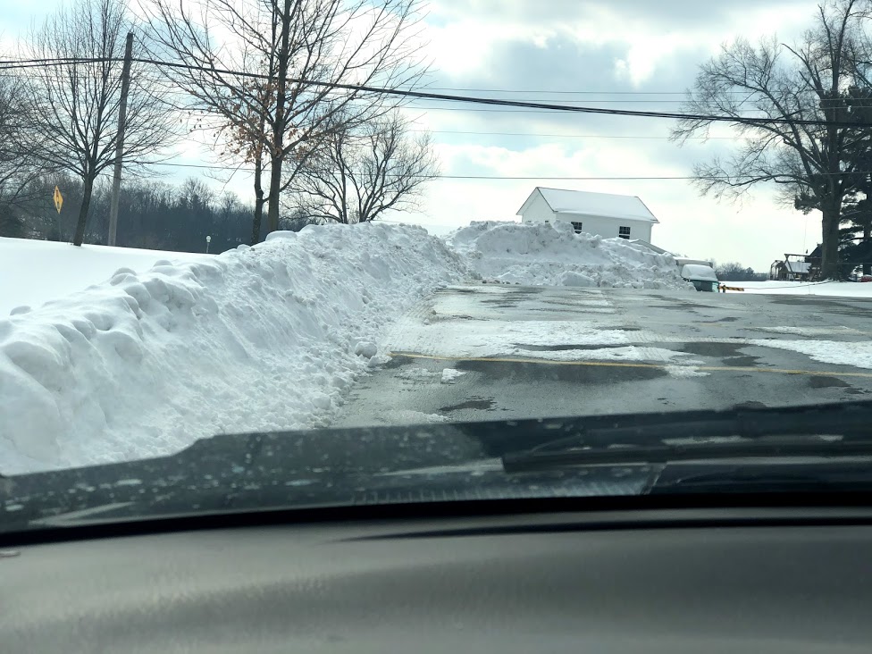
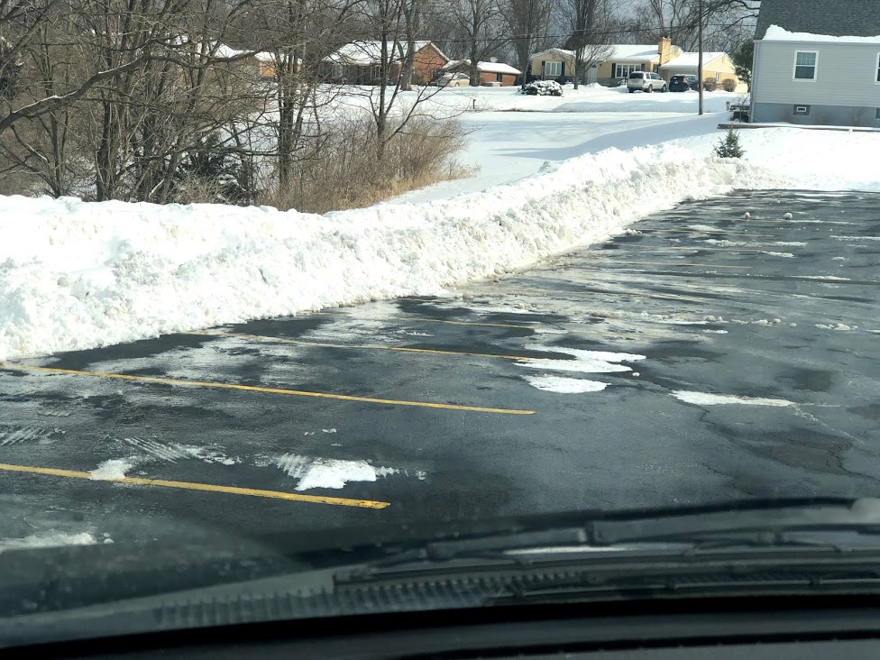
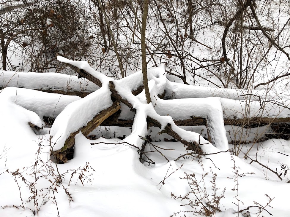
While February ended warm, the first 3 weeks of the month constituted the coldest and snowiest stretch of weather we have seen in some time. Snowfall of 15.2 inches was 3 times average. The 3 week temperature departure was -10 degrees. The month ended with a departure or -5.2 degrees thanks to a very warm surge in the last week with several 60 degree days and 20 growing degree days. Snow depth peaked at 9 inches on 3 days which was the most in a number of years. An anticipated mega-snowstorm on 15-16 turned into a sleet/snow mix event but with 0.7 inches of sleet and several inches of snow the clean up was about the same. The landscape was a winter wonderland
for several weeks. The month ended warm and wet with heavy rain on the last day of the month.


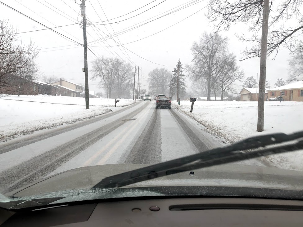
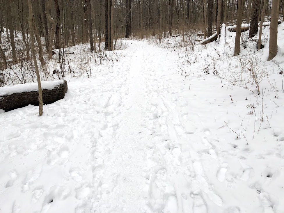
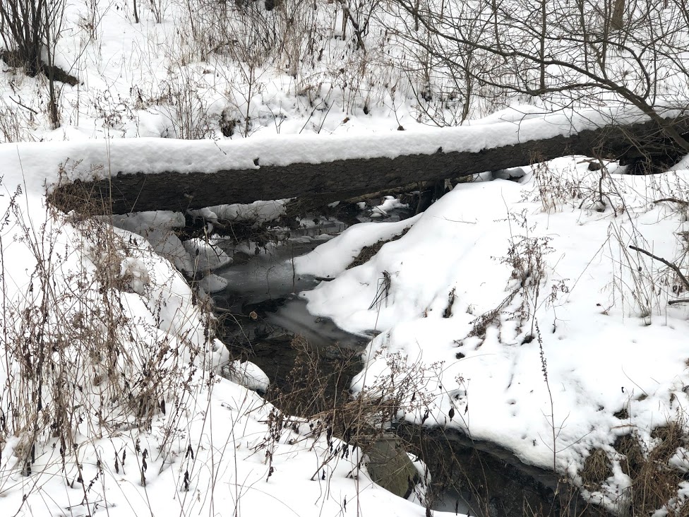
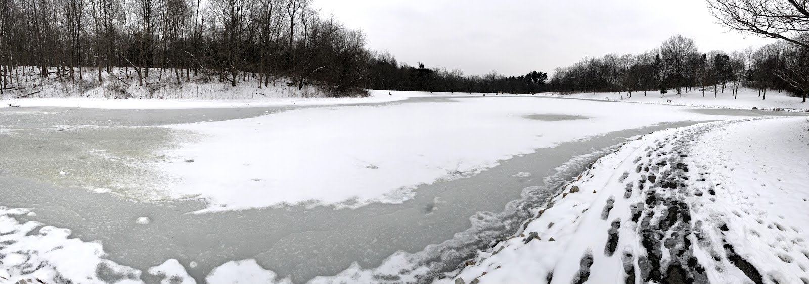
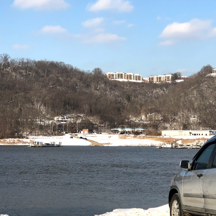
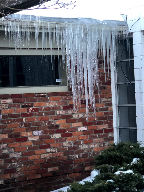
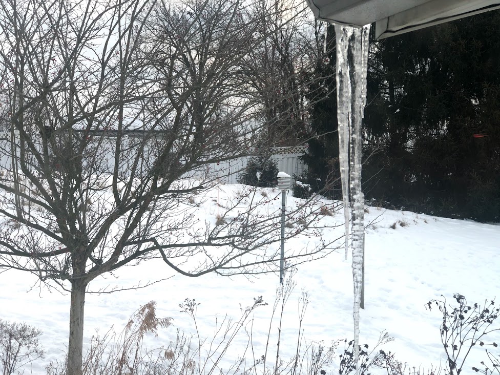

After an extended absence the sun finally made an appearance late on January 12. A lot of days in January were cloudy.
January 2, 2020 Soil Moisture, Drought, and Condition Monitoring . Western drought, drought in central Illinois and northwest Indiana, improving in much of the east. Mildly Wet in Cincinnati>>>
January 27, 2021 — Light Snow>>>
January 30-31, 2021 — Winter Storm>>>
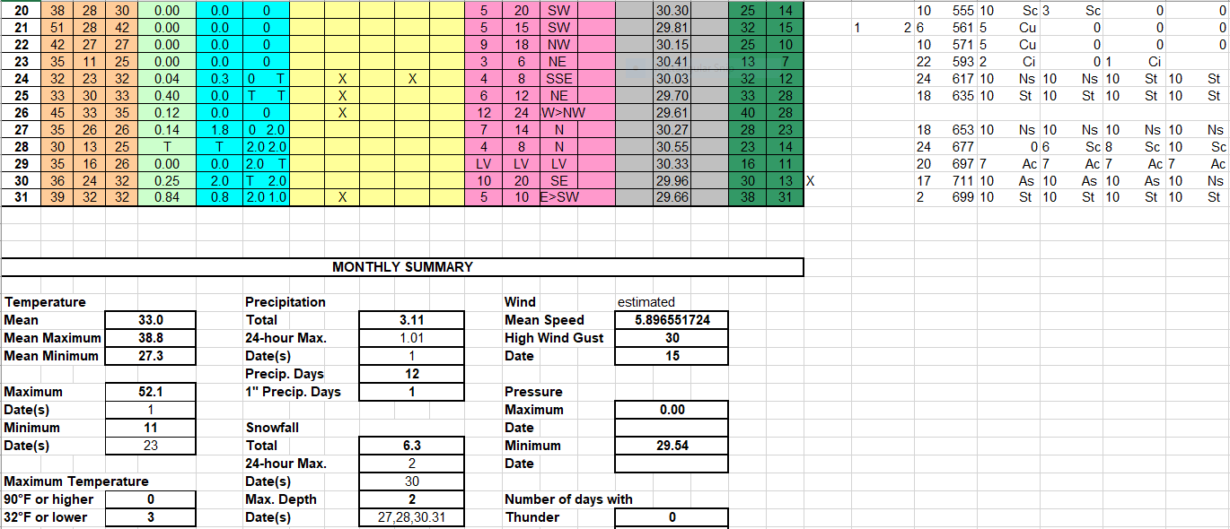
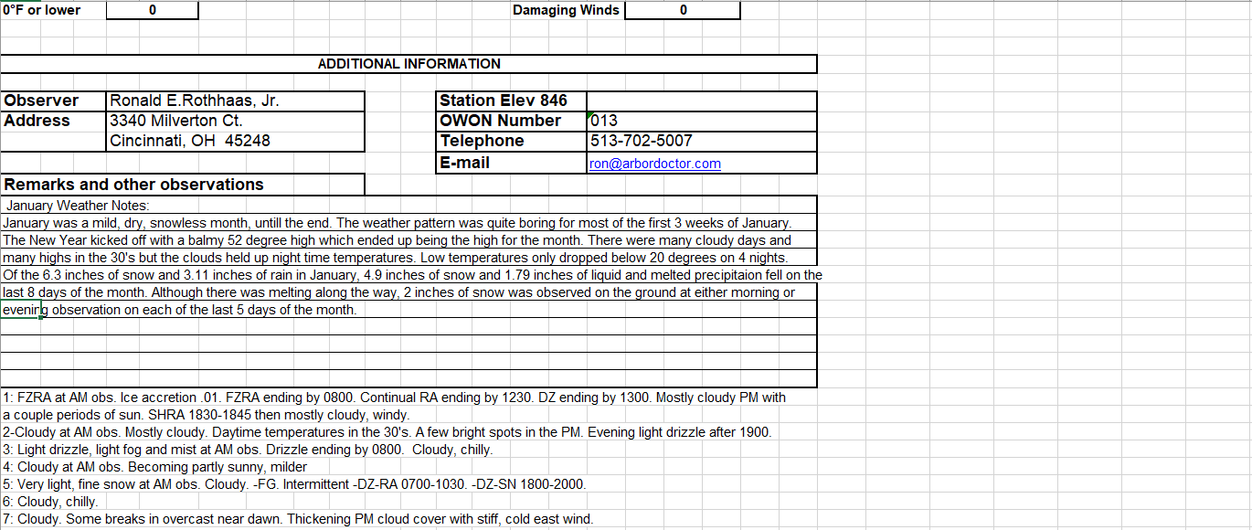
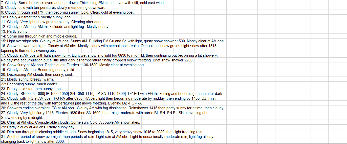
Regional Climate Report – January 2021>>>
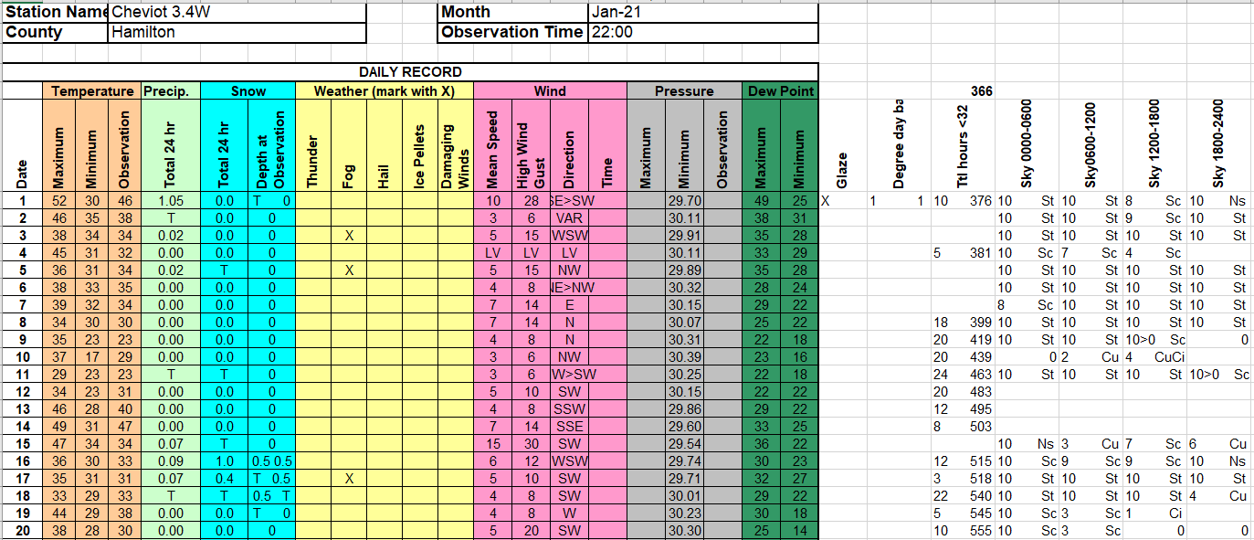
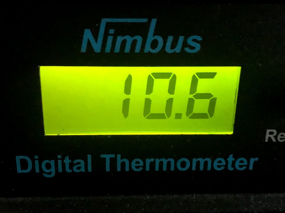 The lowest temperature in January occurred on the morning of the 23rd.
 Snow was largely absent for much of January but finally made an appearance during the last week of the month.