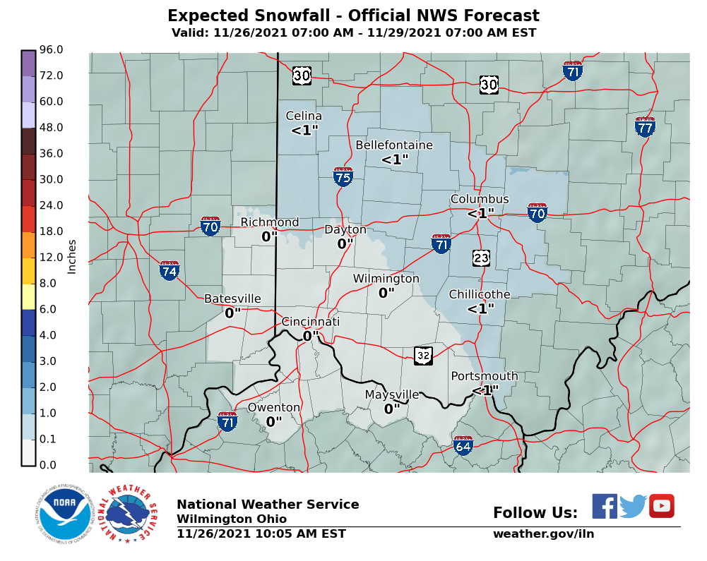
 There is still a good chance of some snow Friday night but the winter storm threat has diminished. Very cold air is still on tap for Saturday night with more snow possible Sunday night. Warmer temperatures are on tap for later next week.
Accumulating Snow, A Deep Freeze, Maybe More Snow, But Eventually More Spring-like

A winter storm watch has been issued south of Cincinnati for Friday night into Saturday. Heavy, accumulating snow is likely in northern Kentucky and extreme southern Ohio and Indiana, south of Cincinnati. There is a good chance of accumulating snow Friday night into Saturday morning in Cincinnati as well.
It remains to be seen exactly how this system will play out. Road temperatures are warm this time of year and the sun angle is high. Therefore, pavement impacts should be fairly minor, even in the heaviest snow areas. In areas where 4 or more inches falls, slushy accumulations will occur on pavement and deeper accumulations in normally shaded areas and elevated surfaces.
The snow will be followed by very cold air Sunday morning with a deep freeze for most in the Ohio valley. Most trees have not progressed far enough to be seriously damaged but some trees such as advanced fruit trees and flowering magnolias may be in some trouble. Believe it or not, more snow chances, albeit not necessarily major snow, are in the forecast Sunday night through Tuesday.
After that, it does appear as if the weather pattern will begin to move to a more spring-like, albeit potentially stormy, pattern in the east. Such a pattern could lend itself to severe weather. More spring-like weather is inevitable. We are rapidly gaining daylight each day and the sun angle is as high as it is in August! It has to get warmer…eventually.
It’s looking like spring is playing out as I thought it would!
| Temperature |
| Precipitation |
Early Alert on Weekend Snow Chance. Yes, Snow!
From the Wilmington OH National Weather Service:
Right now, the potential for 2-3" is very real through
early Saturday morning in Kentucky and southern portions of
Indiana and Ohio. These amounts will definitely be tweaked as
future forecasts hone in on the myriad of ingredients that are
combining to produce snow. There should be a sharp northern
boundary to the more significant snow accumulations, generally
found in Kentucky and then southern Ohio south of route 50.


