
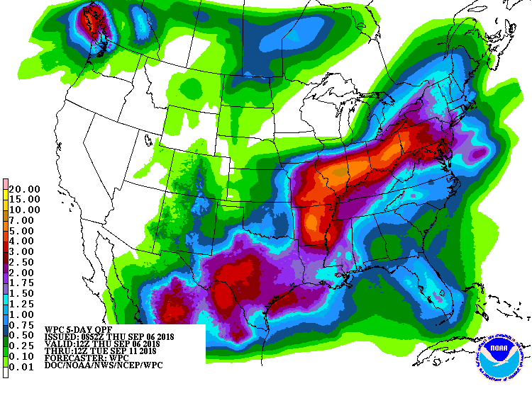
Hazardous Weather Outlook
National Weather Service Wilmington OH
459 AM EDT Thu Sep 6 2018

Wayne-Fayette IN-Union IN-Franklin IN-Ripley-Dearborn-Ohio-
Switzerland-Carroll-Gallatin-Boone-Kenton-Campbell-Owen-Grant-
Pendleton-Bracken-Robertson-Mason-Lewis-Hardin-Mercer-Auglaize-Darke-
Shelby-Logan-Union OH-Delaware-Miami-Champaign-Clark-Madison-
Franklin OH-Licking-Preble-Montgomery-Greene-Fayette OH-Pickaway-
Fairfield-Butler-Warren-Clinton-Ross-Hocking-Hamilton-Clermont-Brown-
Highland-Adams-Pike-Scioto-
459 AM EDT Thu Sep 6 2018

This Hazardous Weather Outlook is for East Central Indiana,
Southeast Indiana, Northeast Kentucky, Northern Kentucky, Central
Ohio, South Central Ohio, Southwest Ohio and West Central Ohio.

.DAY ONE...Today and Tonight.
Scattered storms will develop today into this evening. Some of the
storms will contain very heavy rainfall with localized flooding
possible. A few of the stronger storms may produce strong wind gusts.

.DAYS TWO THROUGH SEVEN...Friday through Wednesday.
As remnants of tropical storm Gordon move into the Ohio Valley, the
potential for heavy rain will exist this weekend. At this time the
best threat for heavy rain looks to be Saturday night and Sunday.
Meteorological Model Ensemble River
Forecasts (MMEFS) show points along the Scioto and Great Miami
Rivers going into flood early next week.