There are two chances for snow this week in Cincinnati.
A weak system could bring some bursts of snow Monday afternoon and evening with less than an inch on warm pavement and minimal impact.
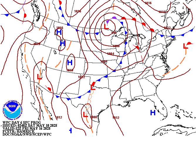
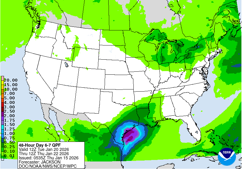
A more substantial system will move in later this week with indications that more significant, even plowable, snow could occur. This early, there are many details to be worked out. Any accumulation forecasts would be foolish. The top map is the approximate location of the weather systems late wek while the bottom map is the 7 day liquid precipitation forecast. Most of the 7 day precipitation would fall in the late week storm but, as you can probably see, there is a sharp cutoff near Cincinnati. Translation: a lot could go wrong with any fanciful major snowfall forecasts.
For now, stay tuned and be advised that late week could get interesting. Maybe, No guarantees but definitely worth our attention.


 This is the liquid precipitation outlook for the 6-7 day period. It shows a lot of moisture and temperatures will be getting colder. DO NOT MAKE THE MISTAKE OF ASSUMING THIS WILL ALL BE SNOW. It likely will not be.
