Drought development occurred over parts of Ohio as predicted and the month was hot with 17 days of 90 or higher at Cheviot OH 3W

At the beginning of July, I wrote a blog article projecting that drought development was likely in at least part of the Ohio valley.

Well, here we are near the end of July and despite ongoing rains, the latest Drought Monitor shows that as of July 28, 37% of Ohio was in moderate drought and 84.75% was abnormally dry. Rainfall since then is providing some relief, especially in southern Ohio.

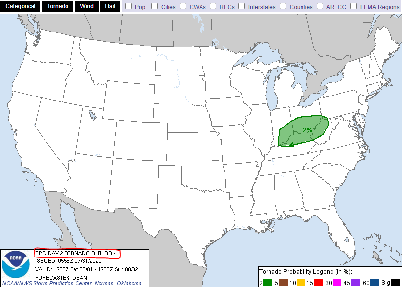
 

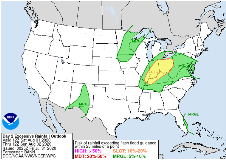
Thunderstorms expected Saturday in the Ohio valley with a few severe storms possible during the afternoon and evening. The main threat will be damaging winds. A tornado can not be ruled out. Also, heavy rain and localized flooding will be possible.

…THERE IS A MARGINAL RISK OF SEVERE THUNDERSTORMS FOR PORTIONS OF THE OH/TN VALLEYS INTO THE MID ATLANTIC…

…SUMMARY…
Strong thunderstorms may impact parts of the Ohio and Tennessee
Valleys Saturday afternoon and evening, accompanied by at least some
risk for damaging wind gusts and a couple of tornadoes. A few strong
storms capable of damaging wind will also be possible across parts
of the Mid Atlantic.